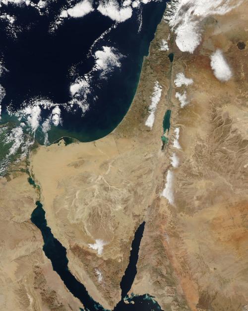
Maps are not objective representations of physical space but are always imbued with social and political meanings, said Cornell sociologist Christine Leuenberger, whose new paper examines the politics at play in maps published in 2020 as part of a peace plan proposed by the Trump Administration.
“Both Palestinian and Israeli experts from across the political spectrum said those maps were ‘ridiculous’ – this is the term they used,” said Leuenberger, senior lecturer of science and technology studies in the College of Arts and Sciences (A&S) and author of “Constructing Facts on the Map: The 2020 ‘Vision for Peace Conceptual Map: The State of Israel and a Future State of Palestine,’” published in the Journal of Borderlands Studies Nov. 29. “They agreed that the proposed maps could not solve the territorial impasse, were overly political and lacked input from Palestinians and from subject matter experts.”
In the paper, Leuenberger points out key features of the maps and assembles input from academics, policymakers, NGO representatives and diverse political activists, concluding that the Trump peace plan continues a long-troubled legacy of top-down mapping in the region. She says that although the proposal is now out of the political spotlight, its maps could threaten reconciliation in the region.
Israel’s peace agreement made with Jordan in 1994 shows a more effective way forward, as Israeli and Jordanian scientific experts and political protagonists jointly negotiated and delineated the border, Leuenberger said.
“The catastrophe that is currently unfolding in the region reveals the detrimental consequences of a stalled peace process. To move towards an equitable territorial solution in Israel/Palestine, there needs to be joint Israeli-Palestinian negotiations with scientific and subject matter experts as part of the discussions,” she said. “Most importantly, there must be political good will on all sides – the Israeli, Palestinian as well as the international community.”
States have always used maps to construct national territories, Leuenberger said, and current political protagonists are using maps as tools to advocate for alternative geopolitical visions. In Ukraine, for example, maps are being used to delineate claims on territory: Russian maps represent Crimea as part of Russia while Ukrainian maps represent it as part of Ukraine.
“Every map includes as much as it excludes, has particular functions and is geared toward particular audiences,” she said. “There is therefore always a politics to what becomes visible and what remains invisible in a map.”
Leuenberger’s analysis focuses on how the Trump administration maps’ visual and textual configurations speak to particular geopolitical visions for the future of Israel/Palestine. In her analysis, she argues that the political assumptions embedded in the maps not only ignore Palestinian concerns, but do not represent the diversity of political opinions within Israel. She points out that the peace plan was led and produced by people known for their alliances with the Israeli political right-wing.
“Many argue that the making of the Trump Plan was not an attempt to establish a peaceful resolution to the Israel/Palestine issue, but it was about opportune timing, power politics, and gaining personal and electoral advantages,” Leuenberger wrote. “It was an auspicious time to reframe the discourse around the Israeli-Palestinian issue and move the ‘imaginary lines on the ground’; it was an opportunity not to be missed by the right-wing alliance that linked U.S. and Israeli interests at the time.”
Diverse political points of view – Israeli and Palestinian – were omitted from the peace plan’s development, Leuenberger said, as were the needed voices of scientists and other experts.
Soon after the publication of the Trump Peace Plan maps, Palestinian, Israeli, and international academics, policymakers and experts in cartography, geography and urban planning analyzed the feasibility of the maps, Leuenberger said. She includes these points of view in her assessment.
Leuenberger’s study of the Trump Peace Plan map builds on her NSF funded research project on “Map Wars: The History and Sociology of Mapping Practices in Israel and the Palestinian Territories.” She is also the author of a book, “The Politics of Maps: Cartographic Constructions of Israel/Palestine.”
More News from A&S

Classics professor plays guide to ancient Pompeii’s daily life on TV series
Classics